IUCN/SSC Otter Specialist Group Bulletin

©IUCN/SCC Otter Specialist Group
Volume 38 Issue 5 (December 2021)
Citation: Reed-Smith, J., Mazelele, J.L., and Serfass, T. (2021). Rubondo Island National Park, Lake Victoria, Tanzania: A Future Otter Sanctuary? IUCN Otter Spec. Group Bull. 38 (5): 300 - 309
Rubondo Island National Park, Lake Victoria, Tanzania: A Future Otter Sanctuary?
Jan Reed-Smith1*, James Leonard Mazelele2, and Tom Serfass3
1African Otter Network. Email: africanotternetwork@gmail.com
2RINP (Rubondo Island National Park)
3Frostburg State University, Frostburg, PA, USA
*Corresponding Author
(Received 6th July 2021, accepted 27th July 2021)
Abstract: Studies of otters on Rubondo Island National Park were ongoing for several years. Ad hoc observations recorded between 2017 and 2021 are reported on here and it is suggested this location be considered as an otter refuge.
Keywords: Otter, Africa, Tanzania, refuge
INTRODUCTION
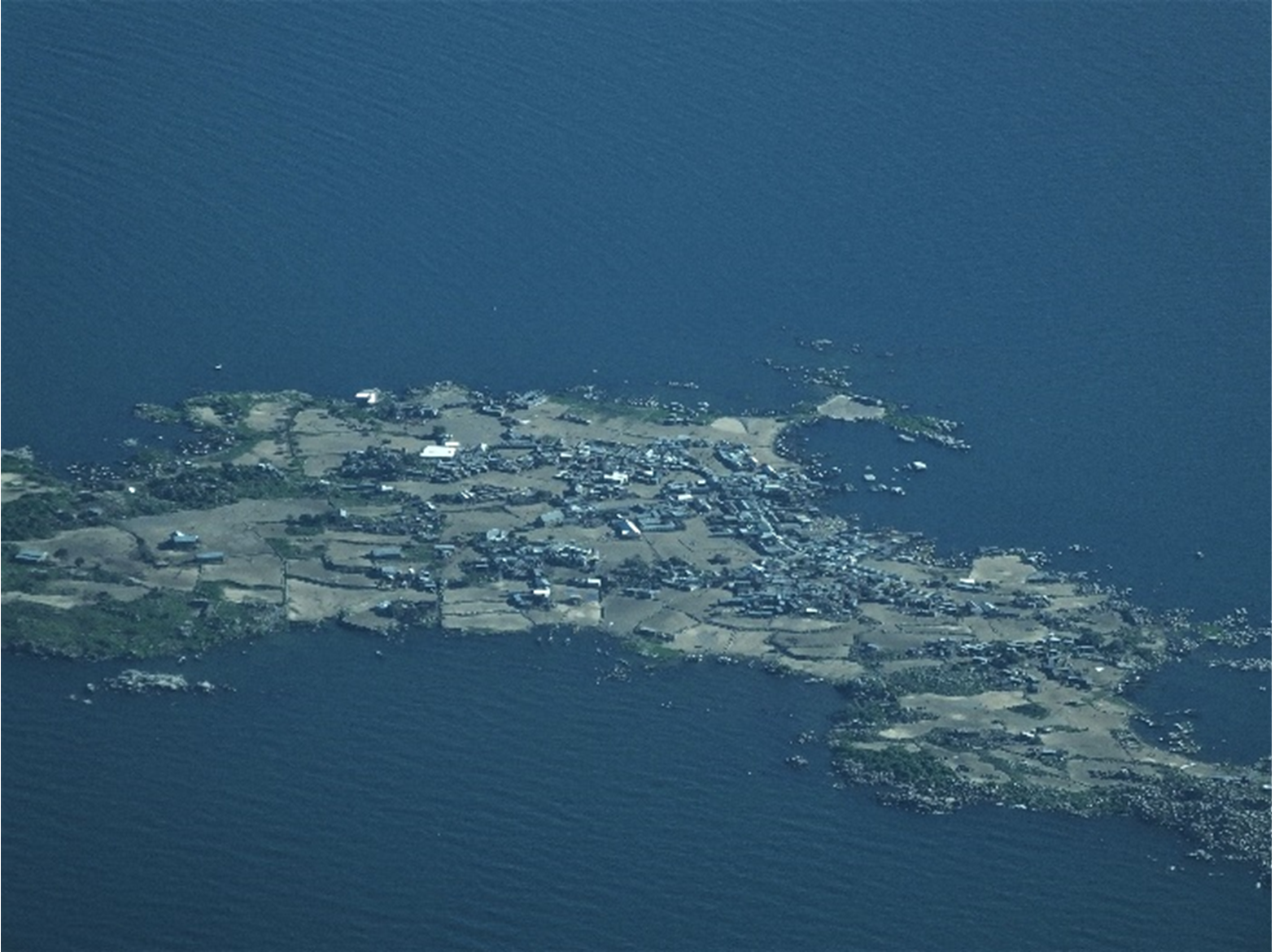
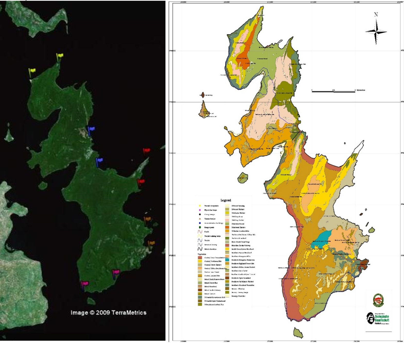
Lake Victoria covers roughly 68,800 km2 (51% Tanzania, 43% Uganda, 6% Kenya) and its watershed is home to approximately 45 million people. The only protected waters of Lake Victoria (Mnaya and Wolanski, 2002) are those surrounding Rubondo Island National Park which encompasses 456.8 km2 (236.8 km2 dry land and 220 km2 water) in the Tanzanian portion of Lake Victoria, just south of the equator (Latitude 2°18’10.3” and Longitude 31°51’26.9”). The entire Park consists of 11 islets and the main island (referred to here as RINP), which itself is formed by 4 hills of volcanic origin connected by lower elevation isthmuses. At its highest point RINP is 351 m above lake level, with a north-west axis of approximately 31 km and a width varying from 3 to 10 km (TANAPA 2003) (Fig. 1). Roughly 80% of the island is semideciduous and evergreen forest interrupted periodically by open grassland. The northern ¾’s of the eastern shoreline is characterized by rocky areas with dense vegetation and stretches of sandy beaches, some of which have some aquatic vegetation, primarily the Balsa wood tree (Aeschynomene elaphroxylon) along portions of the shoreline. The western shoreline and southern quarter of the eastern shore is characterized by large stretches of papyrus (Cyperus papyrus), water hyacinth (Eichhornia crassipes), reed grass (Phragmites mauritianus), and other emergent wetland species (Fig. 1, right).
Gazetted as a national park in 1977, this island is little known and occupied by a variety of introduced wildlife (e.g. elephant (Loxodonta africana), giraffe (Giraffa camelopardalis), chimpanzee (Pan troglodytes), colobus monkey (Colobus guereza), suni antelope (Neotragus moschatus)) and numerous native avian, amphibian, reptile (e.g. crocodile (Crocodylus niloticus)), and mammal species (e.g. stitatunga (Tragelaphus spekei), bushbuck (Tragelaphus scriptus), vervet (Cercopithecus aethiops), hippopotamus (Hippopotamus amphibious), spotted-necked otter (Hydrictis maculicollis), African clawless otter (Aonyx capensis), and marsh mongoose (Atilax paludinosus). As a result, the park has become a refuge for both otter species which are listed as Near Threatened by the IUCN (Reed-Smith et al., 2015, Jacques et al., 2015).
Kruuk and Goudswaard (1990) were the first to study the otters on Rubondo. Since that time several studies looking at behavior and latrine placement (Reed-Smith, 2010; Reed-Smith et al., 2014) as well as appeal to tourists (Stevens, 2011; Amulke et al., 2013), species identification and name confusion (Stevens et al., 2014) and traditional lore (Reed-Smith et al., 2010a) have been reported on. Additionally, the occasional article promoting Rubondo as a good place to see otters have been published (e.g., Reed-Smith et al., 2010b). All but Kruuk and Goudswaard (1990) have focused on the spotted-necked otter because the African clawless population appears to be primarily confined to the western side of the island where the terrain makes it hard to find or study them. However, there have been a few scats found along the eastern side of the island that seem to confirm that species still exists on the island. However, this is unknown at this time. Focused studies of the island’s spotted-necked otter stopped in 2009, intermittent tracking occurred between 2010 and 2016, and volunteer, opportunistic observation, when the observer would position himself at known areas where otter had been seen, has occurred since 2017. These sessions occurred when time was available and at a location the observer was close to, no attempt was made to capture specific time slots or to take samples evenly throughout the day. We review outcomes of these sessions here.
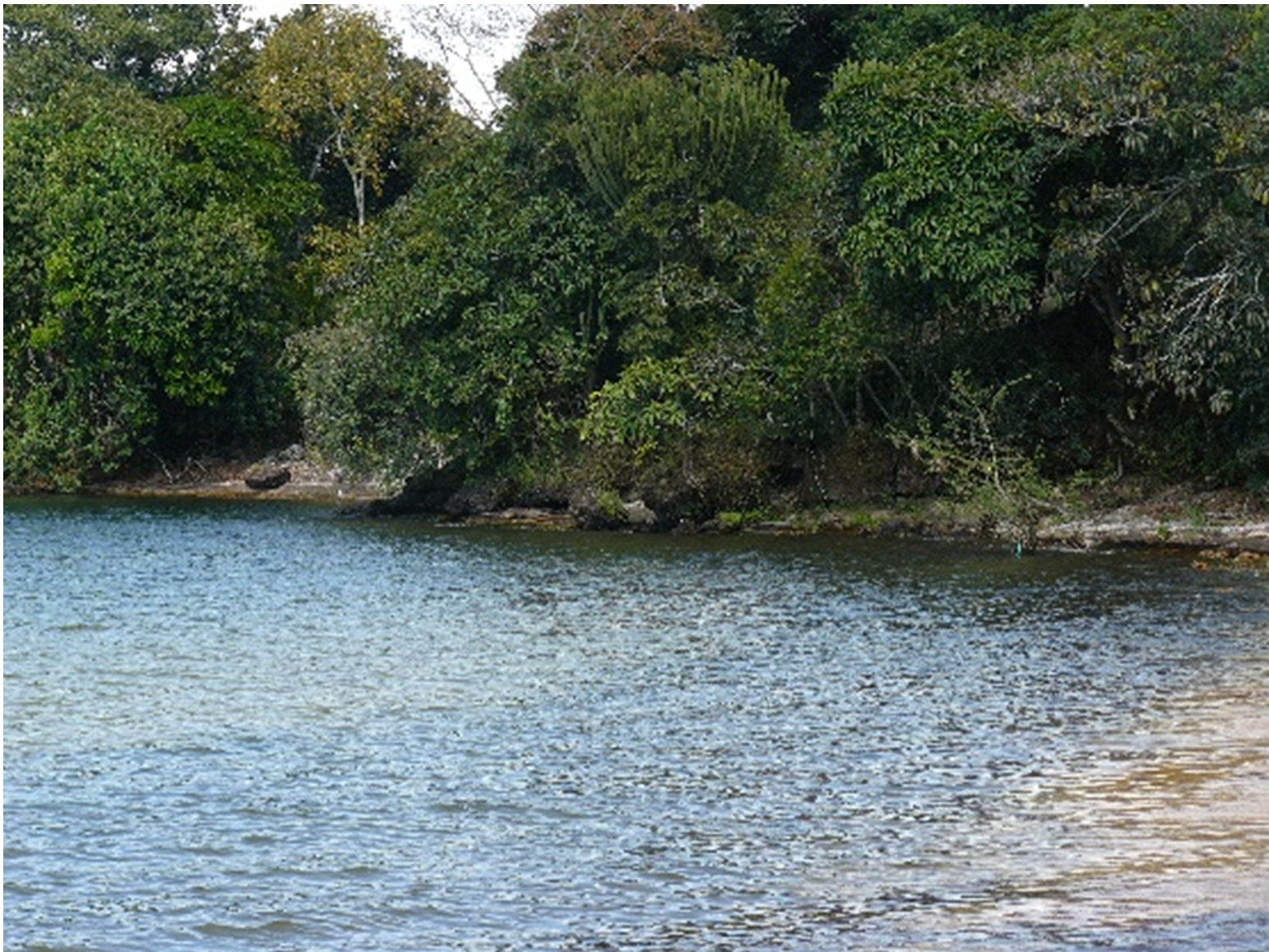
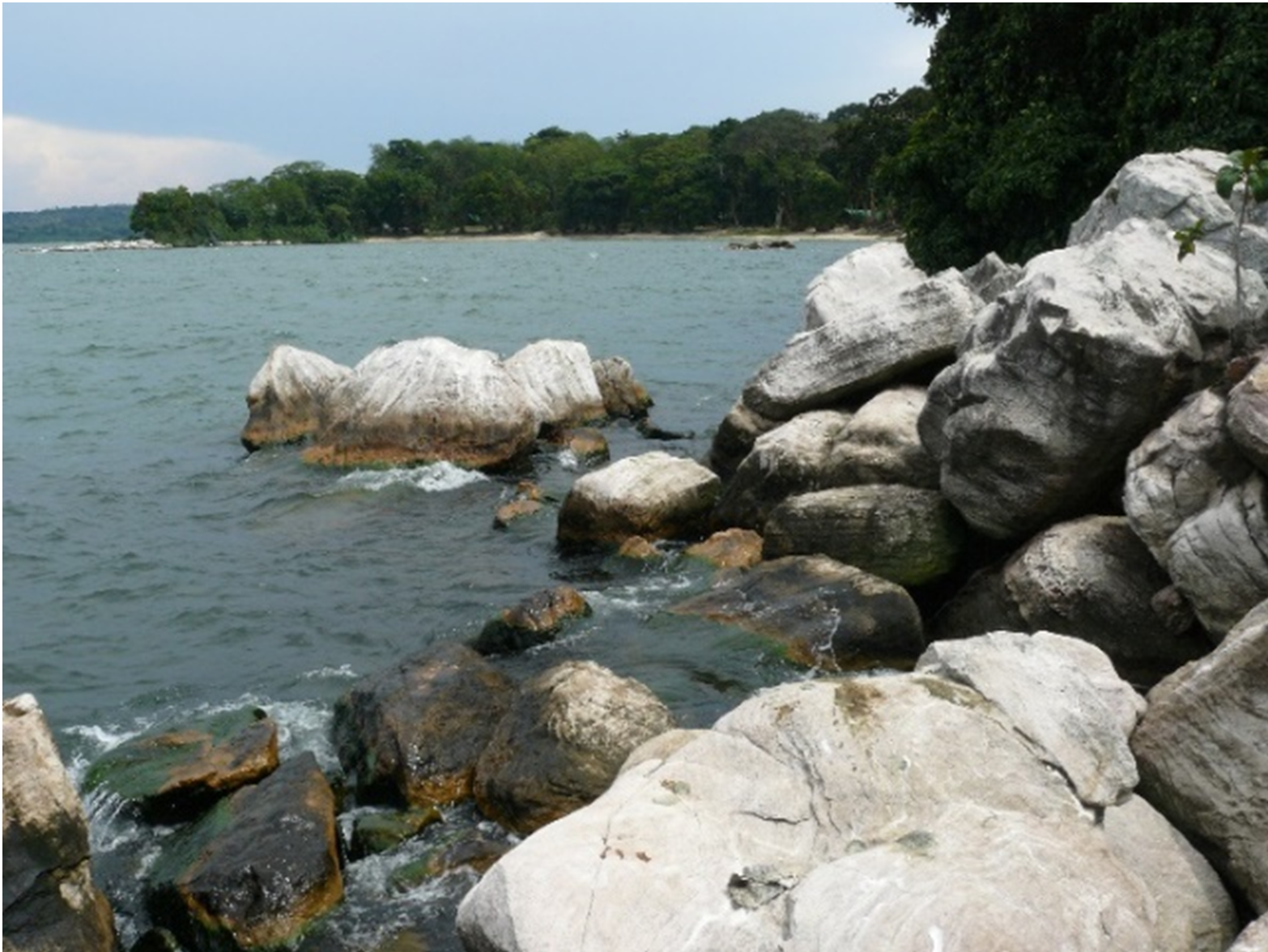
The areas where these opportunistic viewings occurred were all located at bay tips (defined as projections at either end of a bay projecting out into the lake), within bays or along rocky shorelines (Fig. 1, between blue flags; Fig. 2). The most sightings occurred along the densely vegetated and rocky shorelines to either side of the small bay where the only tourist camp (Asilia area) is located (31 of 44 attempts), at the rocky point (Asilia Point) just to the north of that bay (Fig. 3) where the local otters have long had denning sites (33 of 38 attempts). The other areas where viewings occurred were an area known as the Staff Point just to the south of the main camp which is again a small projection along a densely vegetated shoreline (3 of 4 attempts), a shoreline that included a wide bay (Bandas) with dense vegetation and rocks along the arms of the bay and a sandy base (13 of 16 attempts), and the shoreline between the southern tip of this bay and Asilia point (Bandas/Asilia) (20 of 22 attempts). The observation attempts at the base of a very large bay known as Majimatakatifu (5 of 6 attempts) were the outliers as this is where otters are known to forage amongst the shoreline vegetation with long sandy/wetland shorelines. They have to travel through this area to reach favored resting/feeding/denning areas. Divisions are based on topography and viewing distance when sitting on the shoreline. The observer sat in locations where the greatest length of shoreline could be observed while still hidden from the otters. The length of each session was recorded, time otters were seen, how many, approximate distance from shore, what they were doing, and a GPS location recorded. Otter sightings included time points when otters changed behavior, e.g., they were swimming and went to rest, eat, etc. The longer observation periods sometimes included when the otters were resting (Figure 4,5,6) or had gone into a den. Thus, these periods do not always indicate continuous viewing but reflect a knowledge of where they were and a reappearance during the given time period.
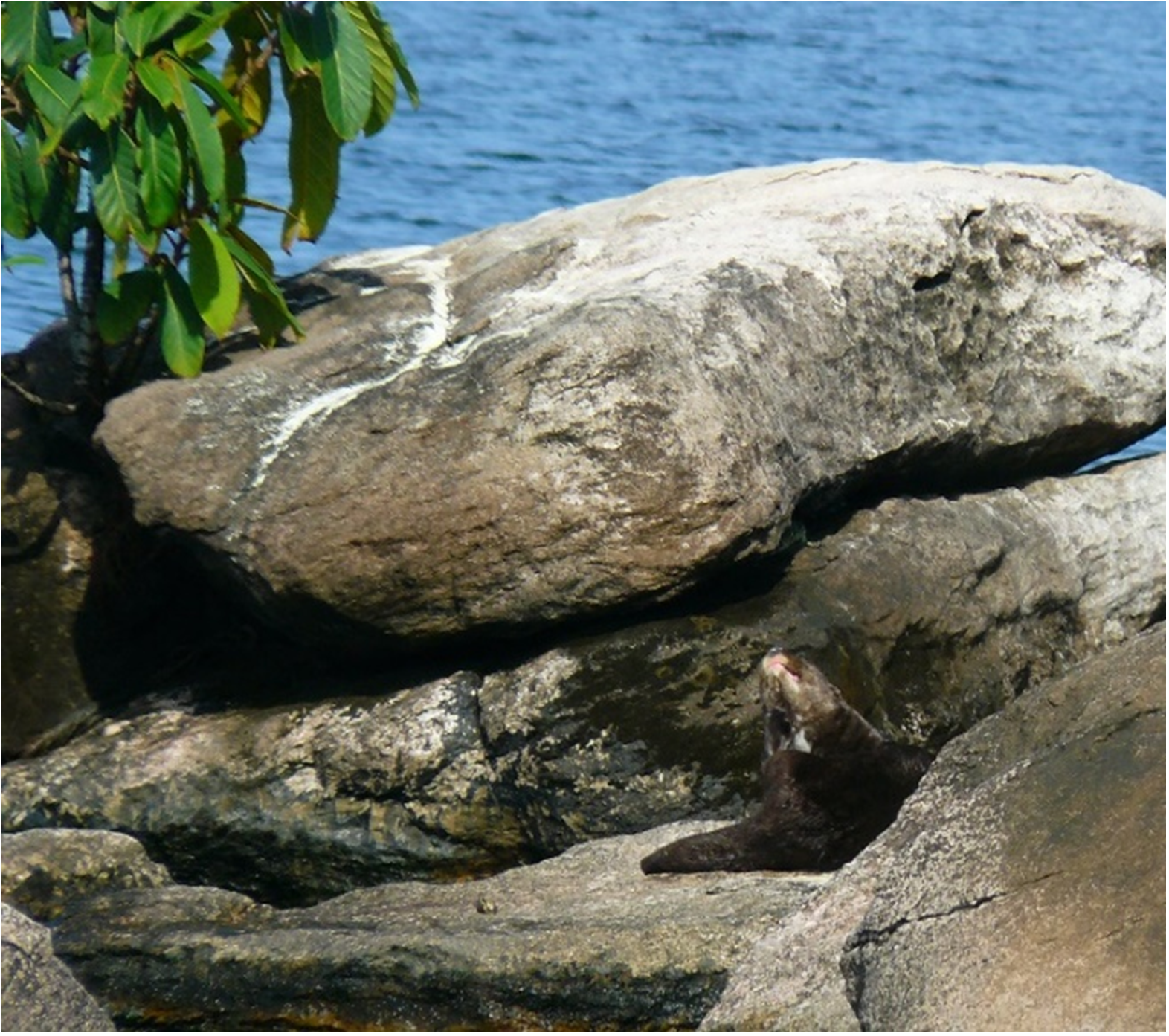
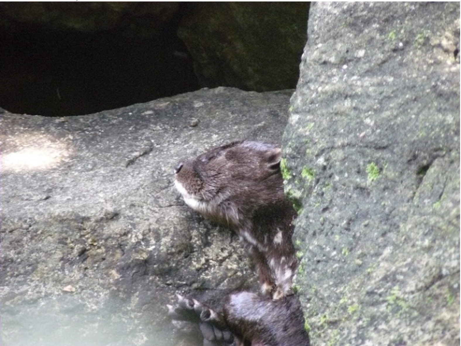
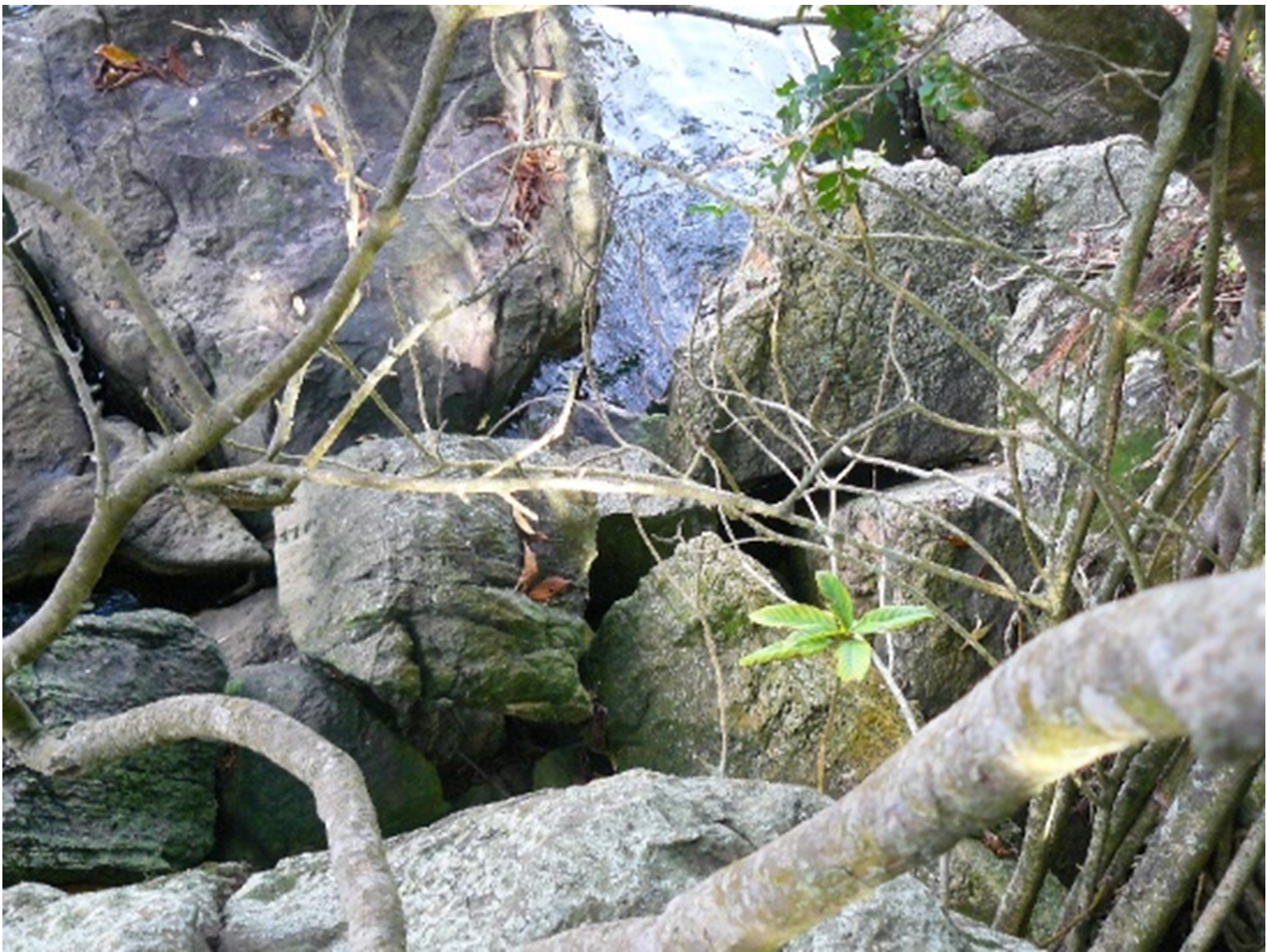
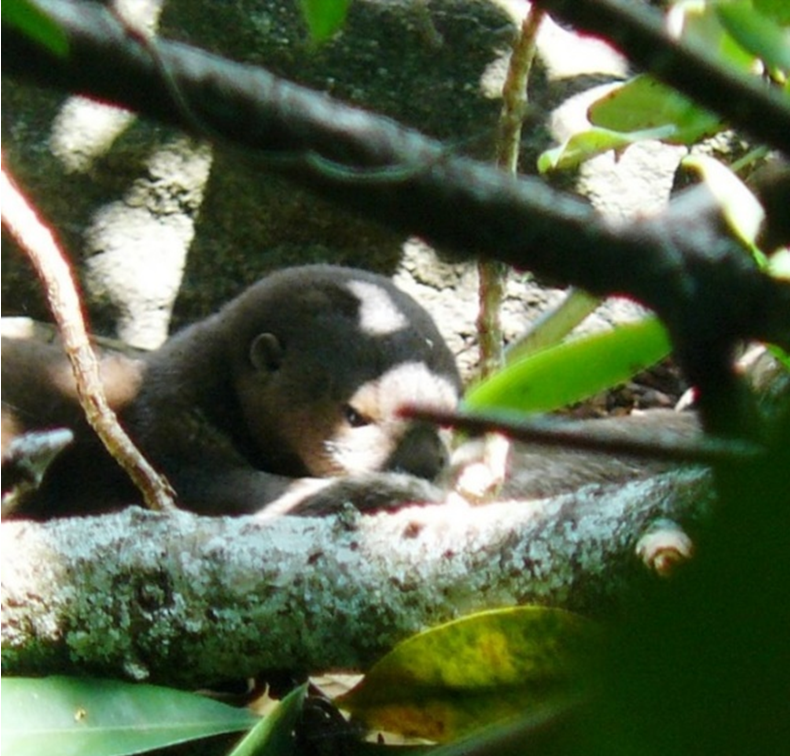
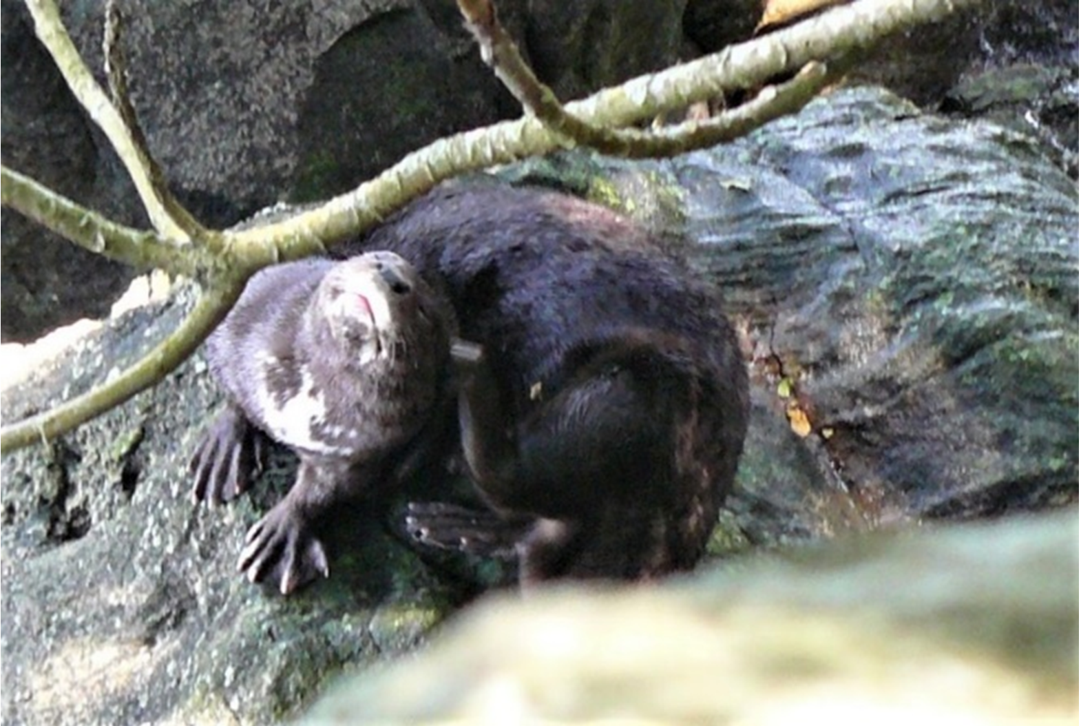
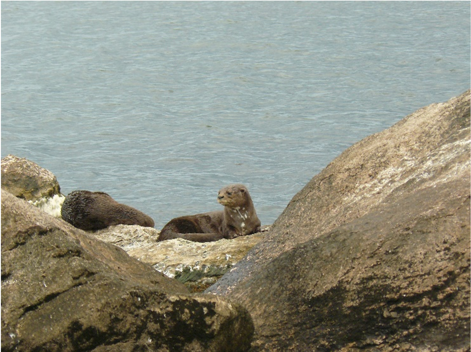
Observation session length varied as well as time of observations (Table 1,2,3). Of the 130 separate sessions, twenty-five sessions resulted in no otters being seen. Single otters were seen 50 times (Figure 8 ), duos were seen 26 times, (Figure 9 ) trios seen 14 times, 4 animals were seen together 8 times. Larger groups were seen 9 times with 3 of these consisting of 5 otters, 6 observations were of groups of 6, and two observations were of groups of 8 otter (Table 2).
| Table 2 : Rubondo Island NP – Number of otters seen and duration of observation maximum/minimum (Minutes) | |||||
| Location | Greatest # of Otters Observed together | Least # of Otters | Longest Observation* | Shortest Observation | |
| Bandas | 6 | 1 | 119 | 1 | |
| Bandas to Asilia | 8 | 1 | 56 | 1 | |
| Asilia Area | 6 | 1 | 120 | 1 | |
| Asilia Point | 8 | 1 | 108 | 1 | |
| Asilia Staff Point | 3 | 1 | 2 | 1 | |
| Majimatakatifu Bay | 6 | 1 | 43 | <1 | |
| *Some of these longer observations include periods when the otters were known to be sleeping on/under rocks or to have entered a den/resting site. | |||||
| Table 3 : Number of sessions when otters were seen & total number of otters seen per geographic section* by time slots | ||||
| Location (n= total sessions when otters seen) | # sessions/#otters seen 6am – 10am Morning |
# sessions/#otters seen 10am – 2pm Mid-day |
# sessions/#otters seen 2pm – 6+pm Late afternoon |
|
| Bandas (n= 16) | 6/10 | 11/13 | 7/7 | |
| Bandas to Asilia (n = 22) | 10/23 | 10/10 | 10/16 | |
| Asilia Area (n = 44) | 16/17 | 20/22 | 23/30 | |
| Asilia Point (n = 38) | 16/19 | 19/29 | 18/32 | |
| Asilia Staff Point (n = 4) | 1/0 | 1/1 | 2/3 | |
| Majimatakatifu Bay (n = 6) | 2/7 | 2/0 | 2/8 | |
| *Some sessions lasted for more than one time period so marked in each time slot. Otter sightings were counted only for the time slot in which they occurred. Four sessions did not have times associated with the sightings so these were not counted. Larger groups of otters (4 to 8 animals) typically were sighted in the 2 to 6pm sessions, but not all of them. | ||||
Over the years much has been published regarding the changing ecosystem of Lake Victoria due to the introduction of the Nile perch (Lates niloticus) (Kruuk and Goudswaard, 1990), and eutrophication (Kolding et al., 2015). The dramatic spread of the fishing industry that occurred during the growth of the export market caused: massive destruction of shorelines and islands (see Figure 10); altered traditional fishing practices, impacted endemic fish fauna, resulted in an increase in poaching of fish, and the use of poisons to increase catches in some areas (Neuwinger, 2004). Since the early 2000’s Nile perch stocks are believed to have fallen leading to increased pressures and the collapse of some of the industrial complex that arose around this industry (Economist, 2021) which is further impacting the economic security of people dependent on the fish industry.
There is an urgency to protecting some of the remaining natural habitats along Lake Victoria’s shorelines to preserve fish nurseries and healthy ecosystems for the lake’s wildlife, in particular the otter, which is considered competition for fish resources by many (Reed-Smith et al., 2010a; Mgomo and Reed-Smith, 2020). For this reason, and its position as a haven for spotted-necked otters, Rubondo Island NP was identified as a key project in The Global Otter Conservation Strategy (Rowe-Rowe et al., 2018). We encourage future studies of Rubondo Island NP as an otter refuge in Africa’s great lakes.
REFERENCES
Amulke, B., Stevens, S.S., Serfass, T. (2013). Enhancing tourist opportunities to view spotted-necked otters (Lutra maculicollis) at Rubondo Island National Park: can the a priori location of latrines simplify identifying the best viewing areas? African Journal of Ecology 51: 609-617.
Anon. (2021). “Finny Business”. The Reinvention of Africa’s Biggest Lake. The Economist, May 15, 2021. https://www.economist.com/middle-east-and-africa/2021/05/15/the-reinvention-of-africas-biggest-lake
Jacques, H., Reed-Smith, J., Somers, M.J. (2015). Aonyx capensis. The IUCN Red List of Threatened Species 2015: e.T1793A21938767. DOI: https://dx.doi.org/10.2305/IUCN.UK.2015-2.RLTS.T1793A21938767.en
Kolding, J., Medard, M., Mkumbo, O.C., and Zwieten, P.A.M. van (2014). Status, trends and management of the Lake Victoria Fisheries. https://www.researchgate.net/profile/Jeppe-Kolding/publication/283069905_Status_trends_and_management_of_the_Lake_Victoria_Fisheries/links/5645aa5208aef646e6ccdc2d/Status-trends-and-management-of-the-Lake-Victoria-Fisheries.pdf
Kruuk, H., Goudswaard, P.C. (1990). Effects of changes in fish populations in Lake Victoria on the food of otters (Lutra maculicollis Schinz and Aonyx capensis Lichtenstein). African Journal of Ecology 28: 322-329.
Mgomo, W and Reed-Smith, J. (2020). An Assessment of Human Attitudes towards Otters in Mbinga District, Tanzania. IUCN
Otter Spec. Group Bull. 37 (2): 81 -97
Mnaya, B., Wolanski, E. (2002). Water circulation and fish larvae recruitment in papyrus wetlands, Rubondo Island, Lake Victoria. Wetlands Ecology and Management. 10: 133-143.
Neuwinger, H.D. (2004). Plants used for poison fishing in tropical Africa. Toxicon: Official Journal of the International Society on Toxinology 44(4): 417-430
Reed-Smith, J. (2010). An Assessment of Seasonality and Shoreline Characteristics Associated with Latrine Site Use by Spotted-necked Otters (Lutra maculicollis, Lichtenstein 1835) with a Preliminary Report on Spotted-necked Otter Behavior on Rubondo Island National Park, Tanzania. Master's Thesis, George Mason University, Fairfax, Virginia.
Reed-Smith, J, Oluoch, I., Origa, M., Kihedu, T.S., Muhabi, M.M., Yusuf, M.M., Ogada, M., Lobora, A. and Serfass, T. (2010a). Consumptive Uses of and Lore pertaining to Spotted-Necked Otters in East Africa – a Preliminary Report from the Lake Victoria Area of Kenya, Tanzania, and Uganda. IUCN Otter Spec. Group Bull. 27 (2): 85 – 88 https://www.iucnosgbull.org/Volume27/Reed-Smith_et_al_2010.html
Reed-Smith, J., Kihedu, T.S., Mwamjengwa, H., Muhabi, M.M. (2010b). Africa's Otter Surprise: Flagship for Clean Water. SWARA magazine, 1: 58-60.
Reed-Smith, J., Serfass, T., Kihedu, T.S., Muhabi, M.M. (2014). Preliminary Report on the Behavior of Spotted-necked Otter (Lutra maculicollis, Lichtenstein, 1835) Living in a Lentic Ecosystem. Zoo Biology 33: 121-130.
Reed-Smith, J., Jacques, J., Somers, M.J. (2015). Hydrictis maculicollis. The IUCN Red List of Threatened Species 2015 e.T12420A21936042 http://dx.doi.org/10.2305/IUCN.UK.2015-2.RLTS.T12420A21936042.en.
Reed-Smith, J., Rowe-Rowe, D., Jacques, J., Somers, M. (2018). Spotted-necked otters. In: The Global Otter Conservation Strategy, Duplaix, N., Savage, M. (Eds.), Publishers: IUCN/SSC Otter Specialist Group & Four Corners Institute, Salem, Oregon USA. Page 102-109.
Rowe-Rowe, D., Jacques, H., McIntyre, T., Somers, M., Reed-Smith, J. (2018). In: The Global Otter Conservation Strategy, Duplaix, N., Savage, M. (Eds.), Publishers: IUCN/SSC Otter Specialist Group & Four Corners Institute, Salem, Oregon USA. Page 110-115.
Stevens, S. (2011). Flagship species, tourism, and support for Rubondo Island National Park. PhD Dissertation, University of Massachusetts, PA.
Stevens, S., Serfass, T.L., Organ, J.F. (2007). Otters and wildlife Tourism: a recipe for conservation success? Proceedings of the Vth TAWIRI Conference, 3-6 December 2007, Arusha, Tanzania.
Stevens, S., Amulike, B., Ndaga, S., Organ, J.F., Serfass, T.L. (2014). The Confusion of Common Names: A Methodological Challenge. Human Dimensions of Wildlife: An International Journal, 19 (2): 191-199. DOI: https://doi.org/10.1080/10871209.2014.853220
TANAPA. (2003). Rubondo Island National Park: General Management Plan/Environmental Impact Assessment. Tanzania National Parks (TANAPA). 117 pp.
Résumé: Rubondo Island National Park, Lake Victoria, Tanzania: Le Parc National de l’île Rubondo, au Lac Victoria, en Tanzanie : Un Futur Sanctuaire pour les Loutres?l
Des études sur les loutres dans le parc national de l’île Rubondo étaient en cours depuis plusieurs années. Les observations ponctuelles enregistrées entre 2010 et 2016 sont rapportées ici et il est suggéré que cet endroit soit considéré comme un refuge pour la loutre..
Revenez au dessus
Resumen: Parque Nacional Isla Rubondo, Lago Victoria, Tanzania: ¿Un Futuro Santuario dDe Nutrias?
Se desarrollaron estudios de las nutrias en el Parque Nacional Isla Rubondo, durante varios años. Aquí se reportan observaciones ad hoc entre 2010 y 2016, y se sugiere que ésta área puede ser considera un refugio para las nutrias..
Vuelva a la tapa

